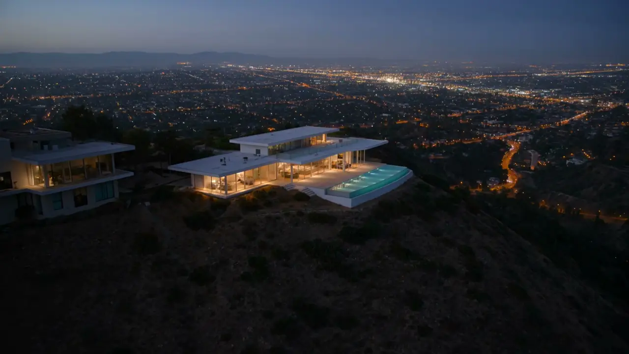
SAN GABRIEL VALLEY · LIVE MLS INVENTORY
THE SAN GABRIEL VALLEY, IN REAL TIME.
Every active listing, live from the MLS — plus a free, no-obligation valuation if you're selling. Work with a licensed local team, not a portal.
Licensed California brokerage · Bryan Nguyen, Broker of Record · CA DRE #01972339 · CRMLS member
Live MLS data
Every active listing, straight from the MLS — no stale portal duplicates or bait listings.
A licensed local team
Named, DRE-licensed professionals across Southern California — one point of contact, first showing to closing.
Free home valuation
Know your home's real, top-dollar value from a licensed agent — no cost, no obligation, no pressure.
Neighborhoods We Serve
- Arcadia
Arcadia spreads from the San Gabriel foothills across the valley floor west of Monrovia, and it carries two of the region's landmark institutions: Santa Anita Park, the historic thoroughbred track, and the Los Angeles County Arboretum, whose free-roaming peafowl wander the surrounding neighborhoods. The housing market is one of the San Gabriel Valley's most valuable, driven by the reputation of Arcadia Unified School District and two decades of custom rebuilds that replaced original ranch homes with substantially larger new construction. Most of the city is served by Arcadia Unified, with edges falling into neighboring districts.
- Azusa
At the mouth of the San Gabriel Canyon and home to Azusa Pacific University, Azusa offers canyon-adjacent living with Metro A Line access to Los Angeles. The Rosedale master-planned community adds newer construction to a market of established foothill homes.
- Baldwin Park
Baldwin Park sits at the center of the San Gabriel Valley along the 10 and 605 freeways, a working-class city with a place in American roadside history: the first In-N-Out Burger opened here in 1948 as the state's first drive-through hamburger stand. The housing stock is a broad postwar grid of single-family homes at one of the most attainable price points in the corridor, with a Metrolink station connecting downtown Los Angeles. The city is served by Baldwin Park Unified School District, whose boundary also covers the southern portion of neighboring Irwindale.
- Bradbury
Bradbury is one of the smallest cities in Los Angeles County, a foothill enclave of roughly a thousand residents tucked between Monrovia and Duarte at the base of the San Gabriel Mountains. Most of the city sits behind gates: Bradbury Estates carries five-acre minimum parcels and Woodlyn Lane two-acre minimums, with an ungated section on the lower slopes. Zoning is equestrian-friendly and working horse properties remain. Listings are rare, lot value drives price, and the city has ranked among the most expensive ZIP codes in the country. The city is served by Duarte Unified School District.
- Claremont
Claremont, the City of Trees and PhDs, is defined by the Claremont Colleges, a tree-lined Village, and tightly held historic neighborhoods. It commands the strongest pricing in the foothill group, from Craftsman bungalows near the Village to North Claremont estates.
- Covina
Covina centers on its historic One Mile Square downtown and remains one of the San Gabriel Valley's most attainable markets. Homes are predominantly single-family on generous lots, appealing to first-time and move-up buyers.
- Diamond Bar
Diamond Bar sits where the 57 and 60 freeways meet on the eastern edge of Los Angeles County, a hillside city of ridgelines, canyons, and cul-de-sac streets. Inventory runs from 1970s and 1980s tract homes through custom builds inside the gated Country Estates, and the city is divided between two school districts along Grand Avenue.
- Duarte
Duarte sits against the San Gabriel Mountains between Monrovia and Azusa, where historic Route 66 runs through the city as Huntington Drive. It is best known as the home of City of Hope, the national cancer research and treatment center that anchors the south side of town, and a Metro A Line station at Duarte/City of Hope puts the city on the light rail line running from Pasadena through the foothill corridor. Housing climbs from postwar tracts on the valley floor into canyon neighborhoods below the wilderness boundary. Most of the city is served by Duarte Unified School District.
- El Monte
El Monte is one of the San Gabriel Valley's largest cities, spread across the flatlands between the San Gabriel River and Rio Hondo where the 10 and 605 meet. Its historic identity as the end of the Santa Fe Trail gave way to a dense, working city with one of the region's major transit hubs and a housing mix that runs from postwar single-family grids to condos and new multifamily along its commercial corridors. Schools split three ways here: El Monte City School District serves the west and center, Mountain View School District the east, and El Monte Union High School District the high schools, so assignments turn on the address.
- Glendora
Known as the Pride of the Foothills, Glendora pairs a walkable historic Village with foothill neighborhoods rising toward the San Gabriel Mountains. Inventory is largely single-family, from classic ranch homes to newer hillside builds. The city is served by Glendora Unified School District.
- Hacienda Heights
Hacienda Heights climbs from the 60 freeway into the Puente Hills, an unincorporated Los Angeles County community, like Rowland Heights next door, rather than a city, with county government providing local services. It is home to Hsi Lai Temple, among the largest Buddhist monasteries in the western hemisphere, and its housing rises from valley-floor tracts to hillside streets with view lots against the Puente Hills preserve. Schools are Hacienda La Puente Unified, including Los Altos and Glen A. Wilson High. The 91745 ZIP is shared with La Puente addresses, so the community line matters more than the postmark.
- Irwindale
Irwindale is the San Gabriel Valley's quarry town: a city built around rock and gravel mining along the San Gabriel River wash, with one of the smallest residential populations of any city in California. Its homes cluster in a compact core near city hall, surrounded by industry, the 605 and 210 freeways, and the Santa Fe Dam Recreation Area. Listings are genuinely rare. Depending on the address, residents are served by Covina-Valley, Baldwin Park, or Azusa Unified school districts.
- La Puente
La Puente takes its name from the Spanish for the bridge, a reference to the crossing built over San Jose Creek when this was ranchland on the road between missions. Today it is a compact working-class city in the Puente Valley south of West Covina, a postwar single-family grid wrapped by unincorporated county pockets, Valinda, West Puente Valley, and Bassett, that share its ZIP codes and its market. Hacienda La Puente Unified serves most of the city, with district lines that turn on the address near the edges. The Donut Hole, the drive-through bakery shaped like two giant donuts, has anchored Amar Road since 1968.
- La Verne
La Verne blends a charming Old Town, the University of La Verne, and quiet foothill streets. Inventory spans early-century character homes near downtown and newer North La Verne neighborhoods with mountain views.
- Monrovia
Monrovia rises from the San Gabriel Valley floor into the foothills below the San Gabriel Mountains, and it is one of the oldest cities in Los Angeles County, incorporated in 1887. That age shows in the housing stock: the streets north and south of Old Town hold one of Southern California's larger concentrations of intact Victorian, Craftsman, and early Revival homes, many of them under Mills Act contracts. Old Town Monrovia along Myrtle Avenue is a walkable historic commercial district, and a Metro A Line station places the city on the light rail spine running from Azusa to downtown Los Angeles. The city is served by Monrovia Unified School District.
- Pomona
Pomona anchors the eastern end of Los Angeles County where the 10, 57, 60, and 71 freeways converge, and it is one of the largest cities the corridor covers. Cal Poly Pomona and the Fairplex, home of the LA County Fair, sit inside the city limits, and a Metrolink station on the San Bernardino Line connects downtown to Union Station. Housing stock is unusually varied for the San Gabriel Valley: early-century Craftsman and Spanish Revival homes in the Lincoln Park and Hacienda Park historic districts, mid-century tracts across the north and west, and newer construction toward the edges. The city is served by Pomona Unified School District.
- Rowland Heights
Rowland Heights is an unincorporated community in eastern Los Angeles County, roughly 13 square miles between the 60 freeway and the Puente Hills, with a 2020 population of about 48,000. Homes range from established hillside tracts to condominium and townhome complexes along the valley floor.
- San Dimas
San Dimas keeps a Western-town character alongside Frank G. Bonelli Regional Park and easy foothill access. Homes range from established tract neighborhoods to larger lots near Via Verde. The city is served by Bonita Unified School District.
- Sierra Madre
Sierra Madre is a foothill village of about eleven thousand people tucked against the San Gabriel Mountains between Arcadia and the Angeles National Forest, with a walkable small-town center around Baldwin Avenue and Sierra Madre Boulevard. The Mount Wilson Trail begins at the top of town, the housing stock runs from Craftsman cottages and Victorians to canyon homes on narrow wooded streets, and turnover is low. Unlike its neighbors, the city is served by Pasadena Unified School District, with two public schools in town.
- South El Monte
South El Monte is a compact city on the west bank of the San Gabriel River where the 60 freeway crosses the valley, calling itself the City of Achievement and balancing a substantial industrial base with tight residential neighborhoods. The Whittier Narrows Recreation Area, one of the county's largest park spaces, borders it to the south and west. Homes are modest postwar stock on a small grid, elementary students attend Valle Lindo School District, and high schoolers attend El Monte Union's South El Monte High. The 91733 ZIP is split nearly evenly with neighboring El Monte, so address diligence matters here.
- Temple City
Temple City is a compact, flat grid of tree-lined residential streets south of Arcadia, organized around the Las Tunas Drive commercial corridor and known for the Camellia Festival it has run each winter for generations. The housing stock is predominantly postwar single-family homes, with a steady infill of newer construction on the same lots. Temple City Unified School District serves most of the city and is the market's central draw, while the southeastern portion falls into El Monte-area districts, so assignments vary by address.
- Walnut
Walnut occupies the hills of the eastern San Gabriel Valley, immediately west of Diamond Bar and sharing the 91789 ZIP code with it. Inventory is predominantly detached single-family homes on graded hillside lots. Most of the city is served by Walnut Valley Unified, with a portion falling inside Rowland Unified.
- West Covina
West Covina spreads across the San Gabriel Valley floor on either side of the 10 freeway, a largely postwar city built out through the 1950s and 1960s. Inventory is predominantly single-family on regular lots, with hillside pockets to the south around the Shadow Oak and Woodside Village areas and a dense retail core near the regional mall. It borders Covina, which the corridor already covers, and is divided among four school districts rather than one.
BUYING
Find your next home
Tell us what you're looking for, get new-listing alerts, and tour homes across the San Gabriel Valley with a licensed local agent.
Start Your SearchSELLING
Know your home's value
Get a free, no-obligation opinion of value from a licensed agent — not an automated guess.
What's My Home Worth